
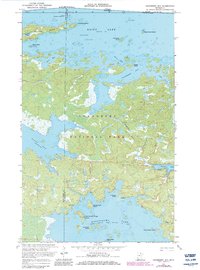
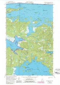
1969 Map of Cranberry Bay
USGS Topo · Published 1971About this map
The Kabetogama State Forest dominates this northern wilderness landscape, where the boundary between Koochiching and St. Louis counties meets the international border between the United States and Canada. This 1969 survey captures an era of backcountry transit, illustrated by the presence of a Winter Trail and the Gold Portage Trail crossing the narrow land bridge between Black Bay and Kabetogama Lake.
Find a feature on this map
36 named features on this map. Tap any name to fly to it.
Don’t see what you’re looking for? This feature index may not catch every label — zoom into the map to look around manually.
Map Details
Editions of this 1969 Cranberry Bay Map
3 editions found
Other maps of this area

1954 · International Falls
USGS Topo · 1:250,000

1957 · International Falls
USGS Topo · 1:250,000

1958 · International Falls
USGS Topo · 1:250,000

1968 · Soldier Point
USGS Topo · 1:24,000

1968 · Daley Bay
USGS Topo · 1:24,000

1969 · Island View
USGS Topo · 1:24,000

1969 · Ray
USGS Topo · 1:24,000

1969 · Kabetogama
USGS Topo · 1:24,000
1978 · International Falls
USGS Topo · 1:100,000
1978 · Brule Narrows
USGS Topo · 1:100,000