
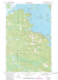
1969 Map of Kabetogama
USGS Topo · Published 1971About this map
The boundary between Koochiching Co and St Louis Co cuts through a dense landscape of boreal waters and forest just south of the Canadian border. The community of Kabetogama serves as a focal point for the region, marked by the presence of Kabetogama Ch and the St Jude Chapel. The map reveals a highly active recreational and timber landscape within the Kabetogama State Forest, where seasonal Winter Trails and numerous Gravel Pits suggest a working forest environment alongside leisure destinations like the Chief Wooden Frog Campground and Gappas Landing Campground.
Find a feature on this map
35 named features on this map. Tap any name to fly to it.
Don’t see what you’re looking for? This feature index may not catch every label — zoom into the map to look around manually.
Map Details
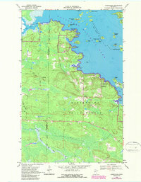
Editions of this 1969 Kabetogama Map
3 editions found
Other maps of this area

1954 · International Falls
USGS Topo · 1:250,000

1957 · International Falls
USGS Topo · 1:250,000

1958 · International Falls
USGS Topo · 1:250,000

1968 · Soldier Point
USGS Topo · 1:24,000

1968 · Daley Bay
USGS Topo · 1:24,000

1968 · Ash River SW
USGS Topo · 1:24,000

1969 · Ray SE
USGS Topo · 1:24,000

1969 · Island View
USGS Topo · 1:24,000

1969 · Ray
USGS Topo · 1:24,000

1969 · Ray SW
USGS Topo · 1:24,000