
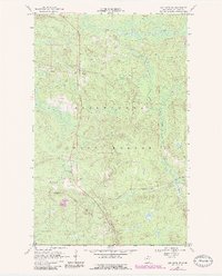
1968 Map of Ash River SW
USGS Topo · Published 1971About this map
Kabetogama State Forest dominates this northern landscape, where the dense timber of St. Louis County is shaped by a legacy of transport and water. The small settlement of Kinmount serves as a primary point of reference, situated near the active Duluth Winnipeg and Pacific line. This rail corridor is mirrored by an Old Railroad Grade to the north, signaling a shift in the region's logging and industrial infrastructure during the mid-20th century.
Find a feature on this map
22 named features on this map. Tap any name to fly to it.
Don’t see what you’re looking for? This feature index may not catch every label — zoom into the map to look around manually.
Map Details
Editions of this 1968 Ash River SW Map
2 editions found
Other maps of this area

1954 · International Falls
USGS Topo · 1:250,000

1957 · International Falls
USGS Topo · 1:250,000

1958 · International Falls
USGS Topo · 1:250,000

1968 · Daley Bay
USGS Topo · 1:24,000

1968 · Ash River SE
USGS Topo · 1:24,000

1968 · Ash Lake
USGS Topo · 1:24,000

1968 · Ash River NE
USGS Topo · 1:24,000
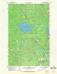
1968 · Orr NE
USGS Topo · 1:24,000

1969 · Ray SE
USGS Topo · 1:24,000

1969 · Kabetogama
USGS Topo · 1:24,000