
1968 Map of Ash Lake
USGS Topo · Published 1971About this map
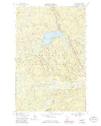
Kabetogama State Forest dominates this landscape in northern Minnesota, where the terrain is defined by complex hydrology and timberland. The central feature, Ash Lake, includes depth curves and soundings provided by the Minnesota Department of Conservation, offering a rare look at the lake's underwater topography during the late 1960s. Industrial and transit activity is concentrated along the eastern corridor, where the Duluth Winnipeg and Pacific railroad cuts through the forest, flanked by several Gravel Pits used for local infrastructure or track maintenance.
Find a feature on this map
7 named features on this map. Tap any name to fly to it.
Don’t see what you’re looking for? This feature index may not catch every label — zoom into the map to look around manually.
Map Details
Editions of this 1968 Ash Lake Map
2 editions found
Other maps of this area

1954 · International Falls
USGS Topo · 1:250,000

1957 · International Falls
USGS Topo · 1:250,000

1958 · International Falls
USGS Topo · 1:250,000

1968 · Ash River SE
USGS Topo · 1:24,000

1968 · Ash River SW
USGS Topo · 1:24,000
1968 · Orr NE
USGS Topo · 1:24,000

1968 · Orr SW
USGS Topo · 1:24,000
1968 · Orr
USGS Topo · 1:24,000

1969 · Ray SE
USGS Topo · 1:24,000

1969 · Nett Lake
USGS Topo · 1:24,000