
1968 Map of Daley Bay
USGS Topo · Published 1971About this map
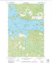
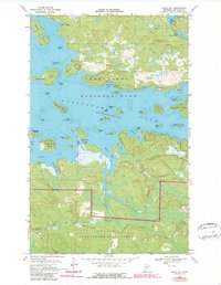
Kabetogama Lake dominates this northern Minnesota landscape, where a dense network of islands and deep bays defines the shoreline. The northern section is marked by the Shoepack Lookout Tower overlooking Shoepack Lake and Little Shoepack Lake, while the southern half is preserved as part of the Irwin State Forest. This survey captures the wilderness character of the region in the late 1960s, showing a reliance on seasonal transport via a Winter Trail and several Winter Roads that cut through the woods and cross frozen waterways. The lake's irregular coastline is punctuated by named features like Nashata Point and Daley Bay, with dozens of small islands such as Sugarbush Island and Round Bear Island scattered across the water. The presence of a Gravel Pit near Daley Brook suggests small-scale local resource extraction amidst the vast forested terrain.
Find a feature on this map
51 named features on this map. Tap any name to fly to it.
Don’t see what you’re looking for? This feature index may not catch every label — zoom into the map to look around manually.
Map Details
Editions of this 1968 Daley Bay Map
3 editions found
Other maps of this area

1954 · International Falls
USGS Topo · 1:250,000

1957 · International Falls
USGS Topo · 1:250,000

1958 · International Falls
USGS Topo · 1:250,000

1967 · Kempton Bay
USGS Topo · 1:24,000

1968 · Soldier Point
USGS Topo · 1:24,000

1968 · Ash River SE
USGS Topo · 1:24,000

1968 · Ash River NE
USGS Topo · 1:24,000

1968 · Ash River SW
USGS Topo · 1:24,000

1969 · Ray SE
USGS Topo · 1:24,000

1969 · Cranberry Bay
USGS Topo · 1:24,000