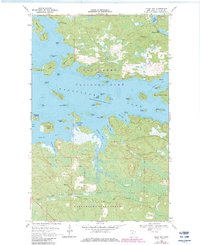
1968 Map of Daley Bay
USGS Topo · Published 1983About this map
Kabetogama Lake and its intricate network of islands and inlets dominate this northern Minnesota landscape, surveyed in the late 1960s. The map captures the interface between the southern boundary of Voyageurs National Park and the wooded expanses of the Kabetogama State Forest. This period of mapping reflects the early management of the park, showing the rugged water-access points and the isolated Shoepack Lookout Tower overlooking the interior.
Find a feature on this map
49 named features on this map. Tap any name to fly to it.
Don’t see what you’re looking for? This feature index may not catch every label — zoom into the map to look around manually.
Map Details
Editions of this 1968 Daley Bay Map
3 editions found
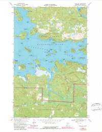
Other maps of this area

1954 · International Falls
USGS Topo · 1:250,000

1957 · International Falls
USGS Topo · 1:250,000

1958 · International Falls
USGS Topo · 1:250,000

1967 · Kempton Bay
USGS Topo · 1:24,000

1968 · Soldier Point
USGS Topo · 1:24,000

1968 · Daley Bay
USGS Topo · 1:24,000

1968 · Ash River SE
USGS Topo · 1:24,000

1968 · Ash River NE
USGS Topo · 1:24,000

1968 · Ash River SW
USGS Topo · 1:24,000

1969 · Ray SE
USGS Topo · 1:24,000