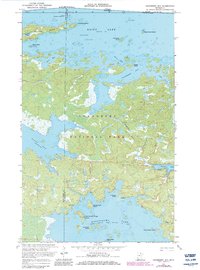
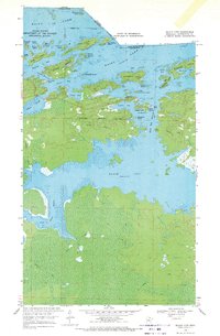
1969 Map of Cranberry Bay
USGS Topo · Published 1983About this map
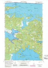
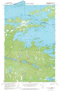
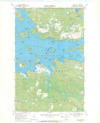
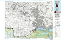
Voyageurs National Park encompasses the heart of this aquatic landscape, where the international boundary between the United States and Canada bisects the northern waters of Rainy Lake. The map details a complex geography of peninsulas and islands, including Dryweed Island and Drywood Island, interspersed with navigational hazards like Ericksons Reef and Stubs Shoals. To the south, the survey captures the northern reaches of Kabetogama Lake, where the shoreline is punctuated by La Bontys Point and the intriguing Chief Wooden Frogs Islands.
Find a feature on this map
44 named features on this map. Tap any name to fly to it.
Don’t see what you’re looking for? This feature index may not catch every label — zoom into the map to look around manually.
Map Details
Editions of this 1969 Cranberry Bay Map
3 editions found
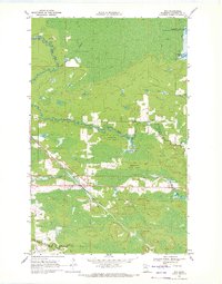
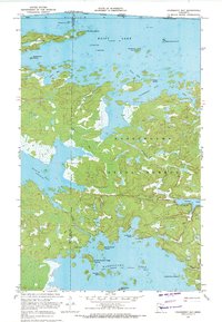
Other maps of this area

1954 · International Falls
USGS Topo · 1:250,000

1957 · International Falls
USGS Topo · 1:250,000

1958 · International Falls
USGS Topo · 1:250,000
1968 · Soldier Point
USGS Topo · 1:24,000
1968 · Daley Bay
USGS Topo · 1:24,000
1969 · Island View
USGS Topo · 1:24,000
1969 · Ray
USGS Topo · 1:24,000
1969 · Cranberry Bay
USGS Topo · 1:24,000
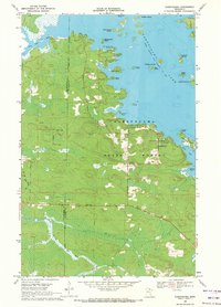
1969 · Kabetogama
USGS Topo · 1:24,000
1978 · International Falls
USGS Topo · 1:100,000