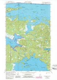
1969 Map of Cranberry Bay
USGS Topo · Published 1987About this map
Voyageurs National Park and the Gold Portage State Wildlife Management Area dominate this water-rich borderland during the late 1960s. The map illustrates a complex labyrinth of bays and islands, including Dryweed Island, Cranberry Island, and Arden Island within the expansive reaches of Rainy Lake. Further south, Kabetogama Lake features landforms with distinctive local names such as Chief Wooden Frogs Islands and Camel Back Island.
Find a feature on this map
30 named features on this map. Tap any name to fly to it.
Don’t see what you’re looking for? This feature index may not catch every label — zoom into the map to look around manually.
Map Details
Editions of this 1969 Cranberry Bay Map
3 editions found
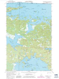
Other maps of this area

1954 · International Falls
USGS Topo · 1:250,000

1957 · International Falls
USGS Topo · 1:250,000

1958 · International Falls
USGS Topo · 1:250,000

1968 · Soldier Point
USGS Topo · 1:24,000

1968 · Daley Bay
USGS Topo · 1:24,000

1969 · Island View
USGS Topo · 1:24,000

1969 · Ray
USGS Topo · 1:24,000

1969 · Cranberry Bay
USGS Topo · 1:24,000

1969 · Kabetogama
USGS Topo · 1:24,000
1978 · International Falls
USGS Topo · 1:100,000