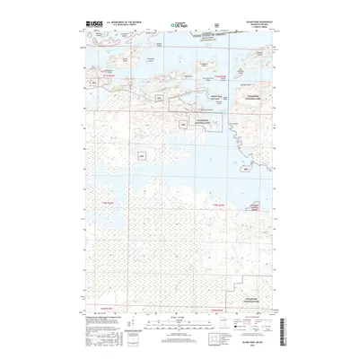
2016 Map of Island View
USGS Topo · Published 2016About this map
The international border between the United States and Canada cuts through Rainy Lake in this 2016 survey, where the settlement of Island View serves as a gateway to the protected waters and islands of Voyageurs National Park. This portion of Koochiching Co is defined by an intricate archipelago including Little American Island, Big American Island, and Aeroplane Island. On the American side, the landscape is heavily forested, transitioning into the Superior National Forest to the south and east. Large bodies of water like Jackfish Bay and Black Bay dominate the topography, connected by passages such as the American Narrows and Grassy Narrows. The map details local infrastructure serving these water-access points, including Co Rd 102 and Co Rd 138, which lead to various points along the shoreline like Neil Point and Sha Sha Point.
Find a feature on this map
50 named features on this map. Tap any name to fly to it.
Don’t see what you’re looking for? This feature index may not catch every label — zoom into the map to look around manually.
Map Details
Editions of this 2016 Island View Map
This is the sole edition of this map. No revisions or reprints were ever made.
Other maps of this area
1919 · International Falls
USGS Topo · 1:62,500
1954 · International Falls
USGS Topo · 1:250,000
1957 · International Falls
USGS Topo · 1:250,000
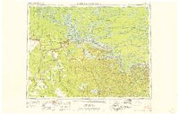
1958 · International Falls
USGS Topo · 1:250,000
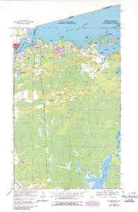
1963 · Ranier
USGS Topo · 1:24,000
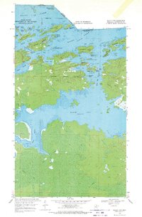
1969 · Island View
USGS Topo · 1:24,000
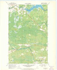
1969 · Ericsburg
USGS Topo · 1:24,000
1969 · Ray
USGS Topo · 1:24,000
1969 · Cranberry Bay
USGS Topo · 1:24,000
1969 · Ranier
USGS Topo · 1:24,000