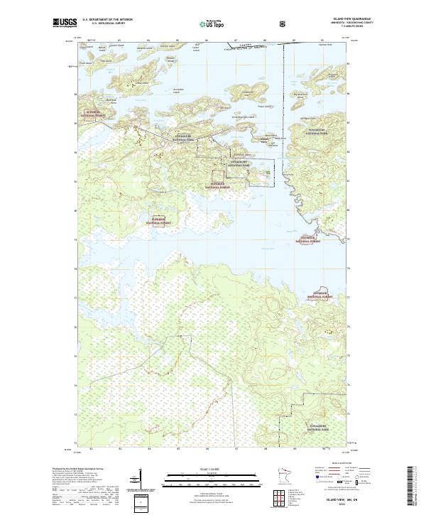
2022 Map of Island View
USGS Topo · Published 2022About this map
Voyageurs National Park and the Superior National Forest converge on this northern Minnesota landscape, where the waters of Rainy Lake dominate the northern half of the quadrangle. The map details a complex network of islands and bays along the international border with Canada, including Little American Island, Big American Island, and Dryweed Island. This environment is characterized by a transition from the open waters of Jackfish Bay and Black Bay to the dense wetland systems of the south, where the Rat Root River meanders toward the lake.
Find a feature on this map
55 named features on this map. Tap any name to fly to it.
Don’t see what you’re looking for? This feature index may not catch every label — zoom into the map to look around manually.
Map Details
Editions of this 2022 Island View Map
This is the sole edition of this map. No revisions or reprints were ever made.
Other maps of this area

1919 · International Falls
USGS Topo · 1:62,500

1954 · International Falls
USGS Topo · 1:250,000

1957 · International Falls
USGS Topo · 1:250,000

1958 · International Falls
USGS Topo · 1:250,000

1963 · Ranier
USGS Topo · 1:24,000

1969 · Island View
USGS Topo · 1:24,000

1969 · Ericsburg
USGS Topo · 1:24,000

1969 · Ray
USGS Topo · 1:24,000

1969 · Cranberry Bay
USGS Topo · 1:24,000

1969 · Ranier
USGS Topo · 1:24,000