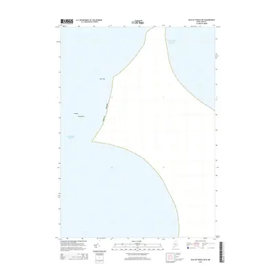
2014 Map of Isles of Shoals OE N
USGS Topo · Published 2014About this map
York Ledge stands as a prominent navigational landmark in the waters off the coast of York County, Maine, within this 2014 hydrographic survey. The map focuses almost entirely on the maritime environment of the Atlantic Ocean, detailing specific underwater or semi-submerged hazards that have long been critical to local mariners. Among these are the Triangles and Murray Rock, which represent significant natural features of the coastal shelf. This sheet provides a specialized view of the sea floor and boundary lines east of the town of York, highlighting the intersection of Maine's territorial waters and the open ocean.
Find a feature on this map
5 named features on this map. Tap any name to fly to it.
Don’t see what you’re looking for? This feature index may not catch every label — zoom into the map to look around manually.
Map Details
Editions of this 2014 Isles of Shoals OE N Map
This is the sole edition of this map. No revisions or reprints were ever made.
Other maps of this area

1893 · York
USGS Topo · 1:62,500

1920 · York
USGS Topo · 1:62,500

1943 · Cape Ann
USGS Topo · 1:125,000
1944 · York Beach
USGS Topo · 1:24,000
1944 · Kittery
USGS Topo · 1:24,000
1944 · York Harbor
USGS Topo · 1:24,000

1948 · Boston
USGS Topo · 1:250,000

1949 · Portland
USGS Topo · 1:250,000
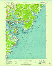
1956 · Kittery
USGS Topo · 1:24,000
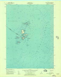
1956 · Isles Of Shoals
USGS Topo · 1:24,000