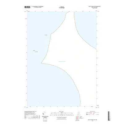
2021 Map of Isles of Shoals OE N
USGS Topo · Published 2021About this map
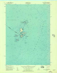
Atlantic Ocean waters dominate this nautical survey, capturing the hazardous sub-surface topography off the coast of Maine. The map identifies specific maritime dangers such as York Ledge, a prominent formation situated in the northern reaches of the sheet. Further south, the seafloor is marked by the Triangles and Murray Rock, features essential for navigation and of significant interest to local maritime historians and divers. This sheet focuses almost exclusively on these offshore landmarks, providing a clear view of the underwater landscape as it was documented in 2021 without the distraction of coastal development or terrestrial landmarks.
Find a feature on this map
4 named features on this map. Tap any name to fly to it.
Don’t see what you’re looking for? This feature index may not catch every label — zoom into the map to look around manually.
Map Details
Editions of this 2021 Isles of Shoals OE N Map
This is the sole edition of this map. No revisions or reprints were ever made.
Other maps of this area

1893 · York
USGS Topo · 1:62,500

1920 · York
USGS Topo · 1:62,500

1943 · Cape Ann
USGS Topo · 1:125,000
1944 · York Beach
USGS Topo · 1:24,000
1944 · Kittery
USGS Topo · 1:24,000
1944 · York Harbor
USGS Topo · 1:24,000

1948 · Boston
USGS Topo · 1:250,000

1949 · Portland
USGS Topo · 1:250,000
1956 · Kittery
USGS Topo · 1:24,000
1956 · Isles Of Shoals
USGS Topo · 1:24,000