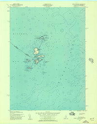
1956 Map of Isles Of Shoals
USGS Topo · Published 1957About this map
Isles of Shoals straddle the maritime boundary between Maine and New Hampshire, appearing here as they were charted in the mid-1950s. This survey by the U.S. Geological Survey and the Army Map Service captures the distinct geography of this rocky archipelago, anchored by the settlement of Gosport on Star Island. The islands are depicted with detailed topography and soundings, showing the complex navigation around features like Duck Island to the north and the Lighthouse situated on White Island at the southern end of the chain.
Find a feature on this map
30 named features on this map. Tap any name to fly to it.
Don’t see what you’re looking for? This feature index may not catch every label — zoom into the map to look around manually.
Map Details
Editions of this 1956 Isles Of Shoals Map
2 editions found
Other maps of this area

1893 · York
USGS Topo · 1:62,500

1920 · York
USGS Topo · 1:62,500

1943 · Cape Ann
USGS Topo · 1:125,000
1944 · Kittery
USGS Topo · 1:24,000

1948 · Boston
USGS Topo · 1:250,000

1949 · Portland
USGS Topo · 1:250,000
1956 · Kittery
USGS Topo · 1:24,000
1956 · York
USGS Topo · 1:62,500

1956 · Portland
USGS Topo · 1:250,000
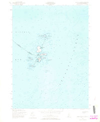
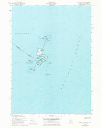
1956 · Isles of Shoals
USGS Topo · 1:24,000