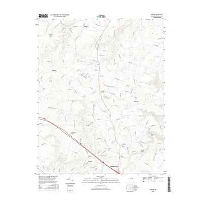
2016 Map of Isoline
USGS Topo · Published 2016About this map
Creston and Woody sit atop the Cumberland Plateau, marking a landscape defined by small rural settlements and a high density of family cemeteries in the Tennessee uplands. This 2016 survey highlights the intricate drainage network where the Tennessee Valley Divide separates waters flowing toward the Obed River from those feeding into the Caney Fork Cr. The map preserves the locations of numerous historic burial sites, such as Tolletts Chapel Cem and Braddock Cem, which are vital for genealogical research in this part of Cumberland County. Civil infrastructure like the Carey Airport and the Downing Cr Reservoir contrast with the rugged topography of Big Hill and Hunter Meadow. The presence of small communities like Elmore and Bowman along US Highway 127 shows the enduring settlement patterns of the region's high plateau.
Find a feature on this map
142 named features on this map. Tap any name to fly to it.
Don’t see what you’re looking for? This feature index may not catch every label — zoom into the map to look around manually.
Map Details
Editions of this 2016 Isoline Map
This is the sole edition of this map. No revisions or reprints were ever made.
Other maps of this area

1887 · Kingston
USGS Topo · 1:125,000

1891 · Kingston
USGS Topo · 1:125,000

1892 · Pikeville
USGS Topo · 1:125,000

1893 · Kingston
USGS Topo · 1:125,000

1895 · Wartburg
USGS Topo · 1:125,000

1895 · Pikeville
USGS Topo · 1:125,000

1896 · Wartburg
USGS Topo · 1:125,000

1897 · Standingstone
USGS Topo · 1:125,000

1898 · Standingstone
USGS Topo · 1:125,000

1912 · Crossville
USGS Topo · 1:62,500