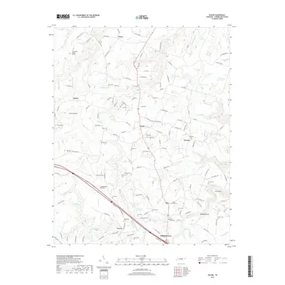
2019 Map of Isoline
USGS Topo · Published 2019About this map
Cumberland Plateau geography dominates this area of Tennessee, where the Tennessee Valley Divide separates complex drainage systems like No Business Cr and Clear Cr. The landscape is a mix of small settlements such as Woody, Tabor, and Creston, linked by a network of rural routes including Potato Farm Rd and Mayfair Dr. Notable water features include the Downing Cr Reservoir and the Obed River as it meanders through Gould Bend. Genealogists will find a high density of family burial grounds and community sites, including Tolletts Chapel Cem, Tate Cem, and Turner Cem Number Two. The southern portion shows the northern edge of Crossville, where more modern development meets the rural uplands near the Carey Airport.
Find a feature on this map
153 named features on this map. Tap any name to fly to it.
Don’t see what you’re looking for? This feature index may not catch every label — zoom into the map to look around manually.
Map Details
Editions of this 2019 Isoline Map
This is the sole edition of this map. No revisions or reprints were ever made.
Other maps of this area

1887 · Kingston
USGS Topo · 1:125,000

1891 · Kingston
USGS Topo · 1:125,000

1892 · Pikeville
USGS Topo · 1:125,000

1893 · Kingston
USGS Topo · 1:125,000

1895 · Wartburg
USGS Topo · 1:125,000

1895 · Pikeville
USGS Topo · 1:125,000

1896 · Wartburg
USGS Topo · 1:125,000

1897 · Standingstone
USGS Topo · 1:125,000

1898 · Standingstone
USGS Topo · 1:125,000

1912 · Crossville
USGS Topo · 1:62,500