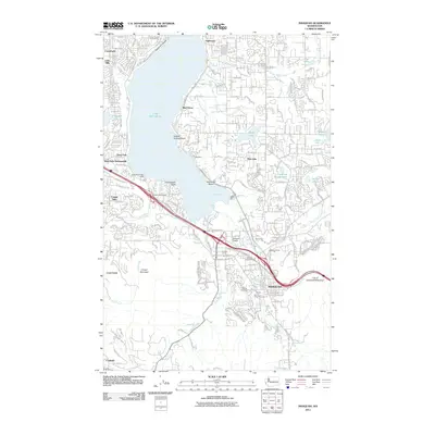
2011 Map of Issaquah
USGS Topo · Published 2011About this map
Issaquah serves as the hub of this 2011 survey, situated at the southern tip of Lake Sammamish where the valley narrows between Cougar Mountain and the eastern highlands. The map documents a landscape of transition, where suburban expansion from Crossroads and Lake Hills meets the industrial legacies of the Reid Gravel Pit and Lakeside Gravel Pit. Local infrastructure is well-defined, including the Issaquah Airport and the Issaquah Post Office, alongside the civic boundaries of the City of Issaquah Watershed. Significant historical and recreational landmarks are noted throughout the hills and shoreline, from the Hillside Cemetery and Sammamish Bible Camp to the distinct residential pockets of Inglewood, Monohon, and Coalfield. This record captures the intricate drainage network of Tibbetts Creek, Issaquah Creek, and Laughing Jacobs Lake as they feed the larger basin.
Find a feature on this map
50 named features on this map. Tap any name to fly to it.
Don’t see what you’re looking for? This feature index may not catch every label — zoom into the map to look around manually.
Map Details
Editions of this 2011 Issaquah Map
This is the sole edition of this map. No revisions or reprints were ever made.
Other maps of this area

1895 · Snohomish
USGS Topo · 1:125,000

1897 · Tacoma
USGS Topo · 1:125,000

1897 · Seattle
USGS Topo · 1:125,000

1900 · Tacoma
USGS Topo · 1:125,000

1913 · Cedar Lake
USGS Topo · 1:125,000

1921 · Sultan
USGS Topo · 1:125,000

1923 · Sultan
USGS Topo · 1:125,000

1949 · Maple Valley
USGS Topo · 1:24,000

1949 · Renton
USGS Topo · 1:24,000

1950 · Redmond
USGS Topo · 1:24,000