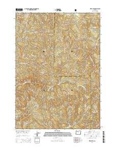
2014 Map of Ivers Peak
USGS Topo · Published 2014About this map
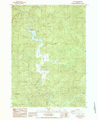
Ivers Peak stands as a prominent high point in this remote section of the Southern Oregon Coast Range, where the boundary between Coos County and Douglas County weaves through steep, timbered ridges. The landscape is defined by a dense drainage network, with the E Fork Millicoma River cutting through the southern half of the quadrangle. High-altitude landmarks like Coos Ridge and High Ridge provide the structural backbone for the area, separating numerous watersheds including Matson Cr, Beulah Cr, and Fall Cr.
Find a feature on this map
18 named features on this map. Tap any name to fly to it.
Don’t see what you’re looking for? This feature index may not catch every label — zoom into the map to look around manually.
Map Details
Editions of this 2014 Ivers Peak Map
This is the sole edition of this map. No revisions or reprints were ever made.
Other maps of this area
1928 · Sitkum
USGS Topo · 1:125,000
1955 · Scottsburg
USGS Topo · 1:62,500
1955 · Ivers Peak
USGS Topo · 1:62,500
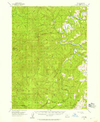
1955 · Tyee
USGS Topo · 1:62,500
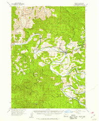
1955 · Elkton
USGS Topo · 1:62,500

1958 · Roseburg
USGS Topo · 1:250,000

1959 · Roseburg
USGS Topo · 1:250,000
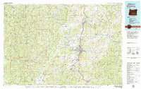
1979 · Roseburg
USGS Topo · 1:100,000
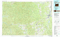
1979 · Cottage Grove
USGS Topo · 1:100,000
1985 · Loon Lake
USGS Topo · 1:24,000