
1965 Map of Iverson Lake
USGS Topo · Published 1966About this map
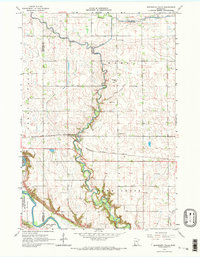
Swedes Forest and the Sacred Heart township meet along the meandering path of the Minnesota River in this mid-1960s survey. The landscape is defined by the sharp transition between the upland agricultural plains and the wooded, creek-cut valley floor. Local landmarks include the Opdal Ch and the Joseph R Brown Wayside Park, which commemorate the area's settlement history.
Find a feature on this map
26 named features on this map. Tap any name to fly to it.
Don’t see what you’re looking for? This feature index may not catch every label — zoom into the map to look around manually.
Map Details
Editions of this 1965 Iverson Lake Map
This is the sole edition of this map. No revisions or reprints were ever made.
Other maps of this area

1952 · Redwood Falls
USGS Topo · 1:62,500

1953 · New Ulm
USGS Topo · 1:250,000

1957 · New Ulm
USGS Topo · 1:250,000

1958 · New Ulm
USGS Topo · 1:250,000

1965 · Echo
USGS Topo · 1:24,000

1965 · Lone Tree Lake
USGS Topo · 1:24,000

1965 · Belview
USGS Topo · 1:24,000

1965 · Sacred Heart
USGS Topo · 1:24,000

1965 · Renville
USGS Topo · 1:24,000
1965 · Minnesota Falls
USGS Topo · 1:24,000