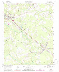
1968 Map of Ivor
USGS Topo · Published 1985About this map
Wakefield and Ivor anchor the landscape of southeastern Virginia in this 1960s-era topographical study, situated at the intersection of the Norfolk and Western railroad and several county lines. The settlement pattern is defined by rural hubs like Saddlers Crossroads and Guildfield Corner, which emerged around church congregations such as New Branch Ch and Shady Hill Ch. The terrain is dominated by a complex network of wetlands, including Seacock Swamp and Terrapin Swamp, which limited large-scale development to the higher ground between drainage basins. Education and recreation are marked by the Berlin-Ivor Sch and the Booker T Memorial Park near the Surry County line. Notable for local genealogists, the map preserves the exact locations of numerous family-named landmarks like Booth Fork and Freemans Millpond, offering a precise record of this agrarian and rail-reliant corridor before late-century modernization.
Find a feature on this map
45 named features on this map. Tap any name to fly to it.
Don’t see what you’re looking for? This feature index may not catch every label — zoom into the map to look around manually.
Map Details
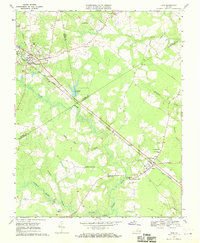
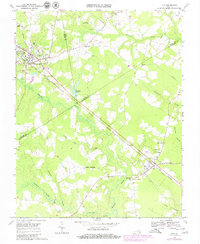
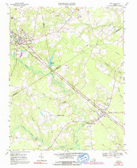
Editions of this 1968 Ivor Map
4 editions found
Other maps of this area

1919 · Surry
USGS Topo · 1:62,500

1919 · Disputanta
USGS Topo · 1:62,500

1919 · Homeville
USGS Topo · 1:48,000

1920 · Ivor
USGS Topo · 1:62,500

1920 · Homeville
USGS Topo · 1:62,500

1943 · Manry
USGS Topo · 1:31,680

1943 · Vicksville
USGS Topo · 1:31,680

1943 · Richmond
USGS Topo · 1:250,000

1944 · Waverly
USGS Topo · 1:31,680

1944 · Ivor
USGS Topo · 1:24,000