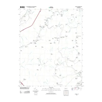
2010 Map of Ivydell
USGS Topo · Published 2010About this map
Walnut Mountain Lookout Tower stands as a prominent sentinel over a landscape defined by its deep hollows and narrow ridges just north of LaFollette. This 2010 topographic record captures the complex terrain of the Cumberland Plateau, where family names are etched into the geography through dozens of cemeteries and hollows. Locations like Sallie Gibson Hollow and Hatmaker Cemetery reflect generations of local residency, while features like the Indian Creek Mines and Stansbury Number Four Mine indicate the region's industrial ties to resource extraction.
Find a feature on this map
119 named features on this map. Tap any name to fly to it.
Don’t see what you’re looking for? This feature index may not catch every label — zoom into the map to look around manually.
Map Details
Editions of this 2010 Ivydell Map
This is the sole edition of this map. No revisions or reprints were ever made.
Other maps of this area

1890 · Williamsburg
USGS Topo · 1:125,000

1893 · Briceville
USGS Topo · 1:125,000

1894 · Williamsburg
USGS Topo · 1:125,000

1895 · Briceville
USGS Topo · 1:125,000

1896 · Briceville
USGS Topo · 1:125,000

1936 · Ivydell
USGS Topo · 1:24,000

1936 · Block
USGS Topo · 1:24,000

1936 · Jacksboro
USGS Topo · 1:24,000

1936 · Pioneer
USGS Topo · 1:24,000

1936 · La Follette
USGS Topo · 1:48,000