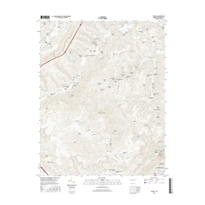
2016 Map of Ivydell
USGS Topo · Published 2016About this map
Walden Ridge and Pine Mountain dominate this landscape, defining a series of hollows and ridges characteristic of northern Tennessee. The map illustrates a pattern of small settlements and family burial grounds scattered through the terrain, with Ivydell and Elk Valley serving as primary local hubs. Dozens of hollows, such as Tram Road Hollow and Schoolhouse Hollow, suggest a history of local industry and community life established along the many branches and creeks that feed into Stinking Creek.
Find a feature on this map
121 named features on this map. Tap any name to fly to it.
Don’t see what you’re looking for? This feature index may not catch every label — zoom into the map to look around manually.
Map Details
Editions of this 2016 Ivydell Map
This is the sole edition of this map. No revisions or reprints were ever made.
Other maps of this area

1890 · Williamsburg
USGS Topo · 1:125,000

1893 · Briceville
USGS Topo · 1:125,000

1894 · Williamsburg
USGS Topo · 1:125,000

1895 · Briceville
USGS Topo · 1:125,000

1896 · Briceville
USGS Topo · 1:125,000

1936 · Ivydell
USGS Topo · 1:24,000

1936 · Block
USGS Topo · 1:24,000

1936 · Jacksboro
USGS Topo · 1:24,000

1936 · Pioneer
USGS Topo · 1:24,000

1936 · La Follette
USGS Topo · 1:48,000