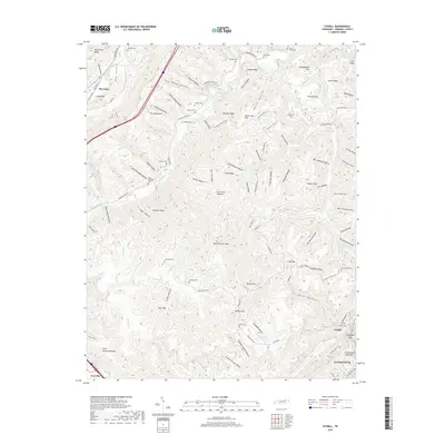
2019 Map of Ivydell
USGS Topo · Published 2019About this map
Walden Ridge and the Pine Mountain fault line dominate this corner of Campbell County, where the topography is defined by a dense network of hollows and ridges. The settlement of Elk Valley occupies the lowland to the northwest, while the town of La Follette begins to take shape in the southeast corner near Ivydell. This modern 2019 survey documents a landscape where family history is deeply etched into the land, evidenced by numerous small burial grounds including Lawson Cem, Broyles Cem, and the Henry Ayers Cem.
Find a feature on this map
130 named features on this map. Tap any name to fly to it.
Don’t see what you’re looking for? This feature index may not catch every label — zoom into the map to look around manually.
Map Details
Editions of this 2019 Ivydell Map
This is the sole edition of this map. No revisions or reprints were ever made.
Other maps of this area

1890 · Williamsburg
USGS Topo · 1:125,000

1893 · Briceville
USGS Topo · 1:125,000

1894 · Williamsburg
USGS Topo · 1:125,000

1895 · Briceville
USGS Topo · 1:125,000

1896 · Briceville
USGS Topo · 1:125,000

1936 · Ivydell
USGS Topo · 1:24,000

1936 · Block
USGS Topo · 1:24,000

1936 · Jacksboro
USGS Topo · 1:24,000

1936 · Pioneer
USGS Topo · 1:24,000

1936 · La Follette
USGS Topo · 1:48,000