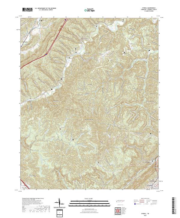
2022 Map of Ivydell
USGS Topo · Published 2022About this map
Pine Mountain and Walden Ridge dominate the topography of this Campbell County corridor, where deep hollows and steep ridges dictated the path of historical development. The settlement of Ivydell sits at the base of Cumberland Mountain, while the northwestern corner is defined by Elk Valley and the waters of Elk Fork Cr. The landscape is notably dotted with family-named burial grounds, including the McCormick Cem, Broyles Cem, and Hatfield Cem, which serve as vital markers for genealogical research in this part of Tennessee.
Find a feature on this map
99 named features on this map. Tap any name to fly to it.
Don’t see what you’re looking for? This feature index may not catch every label — zoom into the map to look around manually.
Map Details
Editions of this 2022 Ivydell Map
This is the sole edition of this map. No revisions or reprints were ever made.
Other maps of this area

1890 · Williamsburg
USGS Topo · 1:125,000

1893 · Briceville
USGS Topo · 1:125,000

1894 · Williamsburg
USGS Topo · 1:125,000

1895 · Briceville
USGS Topo · 1:125,000

1896 · Briceville
USGS Topo · 1:125,000

1936 · Ivydell
USGS Topo · 1:24,000

1936 · Block
USGS Topo · 1:24,000

1936 · Jacksboro
USGS Topo · 1:24,000

1936 · Pioneer
USGS Topo · 1:24,000

1936 · La Follette
USGS Topo · 1:48,000