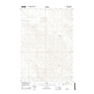
2014 Map of Jack Creek
USGS Topo · Published 2014About this map
The Tongue River winds through this Custer County landscape, defining the northern geography alongside a complex network of tributary drainages. The area is characterized by high-plains topography, where prominent landmarks like Red Butte rise above the surrounding creek beds. Navigating this region involves following the course of MT-332, which provides the primary road access through the township and range divisions. Local waterways including Jack Cr, Ash Cr, and Plunket Cr have carved out the terrain, creating a pattern of ridges and valleys that dictate the movement of both water and travelers. The confluence of N Fork Haddow Cr and Haddow Cr in the southwest corner further illustrates the intricate watershed system that sustains this part of the Montana prairie.
Find a feature on this map
17 named features on this map. Tap any name to fly to it.
Don’t see what you’re looking for? This feature index may not catch every label — zoom into the map to look around manually.
Map Details
Editions of this 2014 Jack Creek Map
This is the sole edition of this map. No revisions or reprints were ever made.
Other maps of this area

1953 · Miles City
USGS Topo · 1:250,000

1954 · Ekalaka
USGS Topo · 1:250,000

1956 · Ekalaka
USGS Topo · 1:250,000

1957 · Miles City
USGS Topo · 1:250,000

1958 · Miles City
USGS Topo · 1:250,000

1958 · Ekalaka
USGS Topo · 1:250,000

1965 · Ekalaka
USGS Topo · 1:250,000
1969 · Jack Creek NW
USGS Topo · 1:24,000

1969 · Horse Creek
USGS Topo · 1:24,000

1969 · Circle L Creek
USGS Topo · 1:24,000