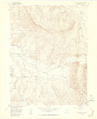
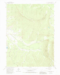
1956 Map of Jack Creek Ranch
USGS Topo · Published 1958About this map
Owl Mountain dominates the northern reaches of this mid-century survey, its slopes marked by a high Lookout Tower and the headwaters of numerous creeks within the Routt National Forest. The landscape is a complex network of high-altitude water management, where the Illinois River and Michigan River systems are interconnected by an extensive series of man-made channels, including the Oldenburg Ditch, Garland Ditch, and Parkview Ditch.
Find a feature on this map
43 named features on this map. Tap any name to fly to it.
Don’t see what you’re looking for? This feature index may not catch every label — zoom into the map to look around manually.
Map Details
Editions of this 1956 Jack Creek Ranch Map
6 editions found
Other maps of this area

1915 · Longs Peak
USGS Topo · 1:125,000

1916 · Home
USGS Topo · 1:125,000

1919 · Rocky Mountain National Park
USGS Topo · 1:125,000

1920 · Home
USGS Topo · 1:125,000

1954 · Greeley
USGS Topo · 1:250,000

1954 · Craig
USGS Topo · 1:250,000

1955 · Gould
USGS Topo · 1:24,000

1955 · Owl Ridge
USGS Topo · 1:24,000

1956 · Radial Mountain
USGS Topo · 1:24,000

1956 · Jack Creek Ranch
USGS Topo · 1:24,000