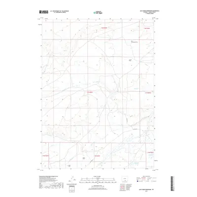
2017 Map of Jack Creek Reservoir
USGS Topo · Published 2017About this map
Jack Creek Reservoir and the smaller Buck Draw Reservoir anchor the water management landscape of this high-elevation corner of Carbon County. Located within the Public Land Survey System grids of Township 17 North, this region is defined by a complex network of seasonal drainage and perennial flow including Beaver Cr and Little Jack Cr. The importance of water in this semi-arid environment is evidenced by engineered features like the Seaverson Ditch and the vital Coyote Spring.
Find a feature on this map
24 named features on this map. Tap any name to fly to it.
Don’t see what you’re looking for? This feature index may not catch every label — zoom into the map to look around manually.
Map Details
Editions of this 2017 Jack Creek Reservoir Map
This is the sole edition of this map. No revisions or reprints were ever made.
Other maps of this area

1893 · Fort Steele
USGS Topo · 1:125,000

1932 · Savery
USGS Topo · 1:96,000

1939 · Saratoga
USGS Topo · 1:125,000

1940 · Savery
USGS Topo · 1:125,000

1954 · Rawlins
USGS Topo · 1:250,000

1955 · Overland Crossing
USGS Topo · 1:24,000

1956 · Bolten Ranch
USGS Topo · 1:62,500

1958 · Rawlins
USGS Topo · 1:250,000

1961 · Divide Peak
USGS Topo · 1:24,000

1961 · Middlewood Hill
USGS Topo · 1:24,000