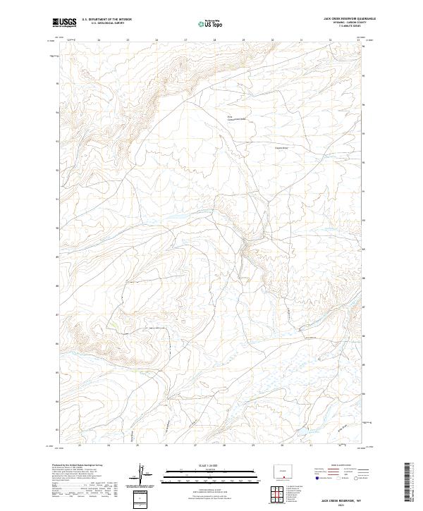
2021 Map of Jack Creek Reservoir
USGS Topo · Published 2021About this map
Jack Cr Reservoir serves as a focal point for water management in this arid stretch of Wyoming, situated near the intersection of several ephemeral drainages. The landscape is defined by a complex network of draws and creeks, including Coyote Draw and First Cottonwood Draw in the north, which channel runoff toward more significant arteries like Gartman Cr. The presence of the Seaverton Ditch and the Jack Creek Rd corridor suggests a land use pattern centered on cattle ranching and livestock irrigation, common in the high-desert basins of the Mountain West. Smaller water sources like Coyote Spring provide critical points of interest for local history and land management, while Buck Draw and Snow Draw further illustrate the deeply eroded topography that characterizes the region south of the Beaver Cr watershed.
Find a feature on this map
24 named features on this map. Tap any name to fly to it.
Don’t see what you’re looking for? This feature index may not catch every label — zoom into the map to look around manually.
Map Details
Editions of this 2021 Jack Creek Reservoir Map
This is the sole edition of this map. No revisions or reprints were ever made.
Other maps of this area

1893 · Fort Steele
USGS Topo · 1:125,000

1932 · Savery
USGS Topo · 1:96,000

1939 · Saratoga
USGS Topo · 1:125,000

1940 · Savery
USGS Topo · 1:125,000

1954 · Rawlins
USGS Topo · 1:250,000

1955 · Overland Crossing
USGS Topo · 1:24,000

1956 · Bolten Ranch
USGS Topo · 1:62,500

1958 · Rawlins
USGS Topo · 1:250,000

1961 · Divide Peak
USGS Topo · 1:24,000

1961 · Middlewood Hill
USGS Topo · 1:24,000