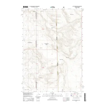
2014 Map of Jack Straw Basin
USGS Topo · Published 2014About this map
Yellowstone National Park and the Gallatin National Forest converge at the boundary of Montana and Wyoming on this 2014 survey. The terrain is defined by high-elevation landforms including the Madison Plateau and the Moose Creek Plateau, which overlook deep drainage features such as Echo Canyon and Meadow Canyon. The namesake Jack Straw Basin sits in the northern section of the map, while small water bodies like Big Bear Lake and Frog Pond punctuate the landscape. This map serves as a detailed record of the interstate boundary line where Gallatin and Teton Counties meet. The absence of significant roads or settlements highlights the wilderness character of this region, providing a clean data set for studying the natural geography and park boundaries of the Greater Yellowstone Ecosystem.
Find a feature on this map
16 named features on this map. Tap any name to fly to it.
Don’t see what you’re looking for? This feature index may not catch every label — zoom into the map to look around manually.
Map Details
Editions of this 2014 Jack Straw Basin Map
This is the sole edition of this map. No revisions or reprints were ever made.
Other maps of this area

1885 · Gallatin
USGS Topo · 1:125,000

1885 · Gallatin
USGS Topo · 1:125,000

1886 · Shoshone
USGS Topo · 1:125,000

1888 · Shoshone
USGS Topo · 1:125,000

1895 · Shoshone
USGS Topo · 1:125,000

1901 · Shoshone
USGS Topo · 1:125,000

1901 · Gallatin
USGS Topo · 1:125,000

1908 · Gallatin
USGS Topo · 1:125,000

1908 · Shoshone
USGS Topo · 1:125,000

1911 · Shoshone
USGS Topo · 1:125,000