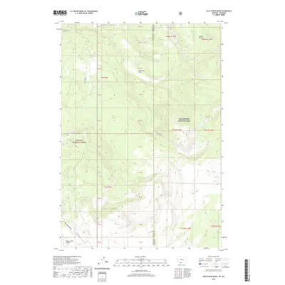
2020 Map of Jack Straw Basin
USGS Topo · Published 2020About this map
Jack Straw Basin sits at the heart of this high-altitude landscape where the borders of Gallatin County, Montana, and Teton County, Wyoming, converge. This 2020 survey illustrates a protected wilderness divided between the southeastern reaches of the Gallatin National Forest and the western edge of Yellowstone National Park. The terrain is defined by broad upland features like the Madison Plateau and Moose Creek Plateau, which drop off into a series of deeply incised drainages including Meadow Canyon, Echo Canyon, and Black Bear Canyon.
Find a feature on this map
16 named features on this map. Tap any name to fly to it.
Don’t see what you’re looking for? This feature index may not catch every label — zoom into the map to look around manually.
Map Details
Editions of this 2020 Jack Straw Basin Map
This is the sole edition of this map. No revisions or reprints were ever made.
Other maps of this area

1885 · Gallatin
USGS Topo · 1:125,000

1885 · Gallatin
USGS Topo · 1:125,000

1886 · Shoshone
USGS Topo · 1:125,000

1888 · Shoshone
USGS Topo · 1:125,000

1895 · Shoshone
USGS Topo · 1:125,000

1901 · Shoshone
USGS Topo · 1:125,000

1901 · Gallatin
USGS Topo · 1:125,000

1908 · Gallatin
USGS Topo · 1:125,000

1908 · Shoshone
USGS Topo · 1:125,000

1911 · Shoshone
USGS Topo · 1:125,000