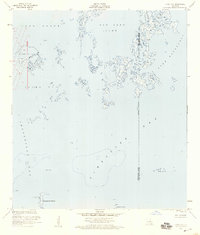
1953 Map of Jacko Bay
USGS Topo · Published 1959About this map
Lake Barre Oil Field stands as a central industrial feature in this coastal Louisiana landscape, marked by its associated tower and gas wells. Located at the intersection of Terrebonne Parish and Lafourche Parish, the map captures a delicate wetland environment where Bayou de la Valle feeds into a network of open water bodies including Old Lady Lake and Lake Raccourci.
Find a feature on this map
18 named features on this map. Tap any name to fly to it.
Don’t see what you’re looking for? This feature index may not catch every label — zoom into the map to look around manually.
Map Details
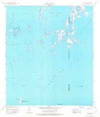
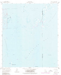
Editions of this 1953 Jacko Bay Map
3 editions found
Other maps of this area

1894 · Timbalier
USGS Topo · 1:62,500

1894 · Lake Felicity
USGS Topo · 1:62,500

1894 · Dulac
USGS Topo · 1:62,500

1935 · Bourbeux
USGS Topo · 1:31,680

1935 · Timbalier Island
USGS Topo · 1:31,680

1935 · Bay Courant
USGS Topo · 1:31,680

1935 · Pelican Pass
USGS Topo · 1:31,680

1935 · Calumet Island
USGS Topo · 1:31,680

1939 · Lake Felicity
USGS Topo · 1:62,500

1941 · Lake Felicity
USGS Topo · 1:62,500