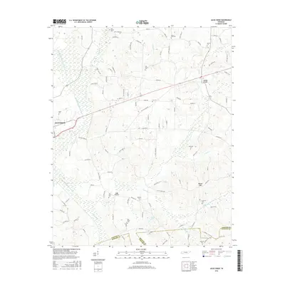
2016 Map of Jacks Creek
USGS Topo · Published 2016About this map
Henderson serves as the primary urban center in the western portion of this Chester County landscape, where the South Fork Forked Deer River defines the drainage pattern through a network of wetlands and minor tributaries like Sugar Creek. Moving east, the terrain transitions into a series of smaller rural hubs including Jacks Creek and the uniquely named Sweet Lips. This region is particularly dense with small family and community burial grounds, such as Massengill Cemetery and Robinson Cemetery, which offer valuable data points for genealogical research in these West Tennessee communities. The map shows a well-established road network, including the Enville Road corridor connecting these settlements, while water features like Morris Lake and the Right Fork Sweet Lips Creek highlight the local hydrology. The southern border marks the transition at the Chester County and McNairy County line, documenting the interface between these neighboring rural jurisdictions.
Find a feature on this map
102 named features on this map. Tap any name to fly to it.
Don’t see what you’re looking for? This feature index may not catch every label — zoom into the map to look around manually.
Map Details
Editions of this 2016 Jacks Creek Map
This is the sole edition of this map. No revisions or reprints were ever made.
Other maps of this area

1936 · Leapwood
USGS Topo · 1:24,000

1936 · Enville
USGS Topo · 1:24,000

1936 · Life
USGS Topo · 1:24,000

1936 · Mt. Peter
USGS Topo · 1:24,000

1949 · Leapwood
USGS Topo · 1:24,000

1949 · Mt. Peter
USGS Topo · 1:24,000

1950 · Life
USGS Topo · 1:24,000

1950 · Enville
USGS Topo · 1:24,000

1953 · Beech Bluff
USGS Topo · 1:24,000

1955 · Luray
USGS Topo · 1:24,000