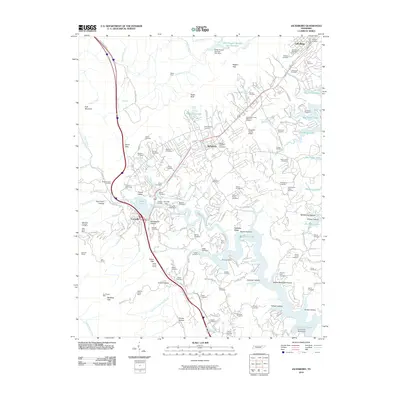
2010 Map of Jacksboro
USGS Topo · Published 2010About this map
Powell Valley serves as a central corridor for this 2010 survey of Campbell County, where the infrastructure of transportation and industry meets the rising waters of the Tennessee Valley authority system. The landscape is defined by the proximity of Jacksboro and Caryville to the expansive fingers of Big Ridge Lake and the recreational waters of Cove Lake. To the west, the Cumberland Plateau foothills are scarred with the legacy of resource extraction, visible in the Red Ash Mines, Sun Mines, and Anthras Slope Mine.
Find a feature on this map
147 named features on this map. Tap any name to fly to it.
Don’t see what you’re looking for? This feature index may not catch every label — zoom into the map to look around manually.
Map Details
Editions of this 2010 Jacksboro Map
This is the sole edition of this map. No revisions or reprints were ever made.
Other maps of this area

1893 · Briceville
USGS Topo · 1:125,000

1895 · Briceville
USGS Topo · 1:125,000

1896 · Briceville
USGS Topo · 1:125,000
1936 · Ivydell
USGS Topo · 1:24,000
1936 · Block
USGS Topo · 1:24,000
1936 · Jacksboro
USGS Topo · 1:24,000
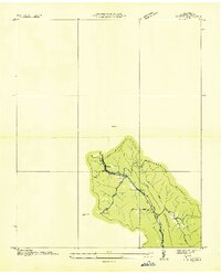
1936 · Pioneer
USGS Topo · 1:24,000
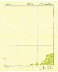
1936 · Duncan Flats
USGS Topo · 1:24,000
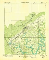
1936 · La Follette
USGS Topo · 1:48,000
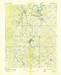
1936 · Norris Dam
USGS Topo · 1:48,000