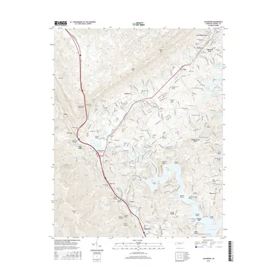
2016 Map of Jacksboro
USGS Topo · Published 2016About this map
Cumberland Mountain dominates the western horizon of this Tennessee landscape, where the community of Jacksboro serves as a central hub near the branching arms of Norris Lake. The map reveals a transition from the elevated peaks of Eagle Bluff and High Point to the fertile stretches of Powell Valley. To the north, the growing settlement of La Follette is marked by neighborhood streets like W Central Ave and Old Jacksboro Hwy.
Find a feature on this map
230 named features on this map. Tap any name to fly to it.
Don’t see what you’re looking for? This feature index may not catch every label — zoom into the map to look around manually.
Map Details
Editions of this 2016 Jacksboro Map
This is the sole edition of this map. No revisions or reprints were ever made.
Other maps of this area

1893 · Briceville
USGS Topo · 1:125,000

1895 · Briceville
USGS Topo · 1:125,000

1896 · Briceville
USGS Topo · 1:125,000

1936 · Ivydell
USGS Topo · 1:24,000

1936 · Block
USGS Topo · 1:24,000

1936 · Jacksboro
USGS Topo · 1:24,000

1936 · Pioneer
USGS Topo · 1:24,000

1936 · Duncan Flats
USGS Topo · 1:24,000

1936 · La Follette
USGS Topo · 1:48,000

1936 · Norris Dam
USGS Topo · 1:48,000