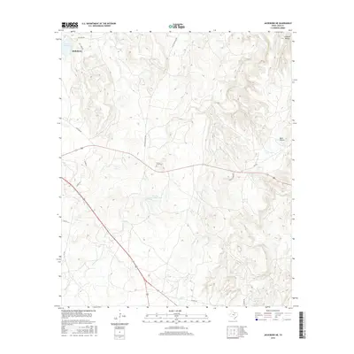
2016 Map of Jacksboro NE
USGS Topo · Published 2016About this map
Jacksboro anchors the northwest corner of this Northeast Texas landscape, where the town's proximity to the Lost Cr Reservoir and the winding Lost Cr defines the local hydrology. The area is characterized by a network of ranch roads and cattle-country infrastructure, with Coca Cola Ranch Rd and Grizzly Ridge Rd threading through the dissected terrain. For genealogists and local historians, the Carroll Creek Cem serves as a significant site for tracing early residency in Jack County.
Find a feature on this map
22 named features on this map. Tap any name to fly to it.
Don’t see what you’re looking for? This feature index may not catch every label — zoom into the map to look around manually.
Map Details
Editions of this 2016 Jacksboro NE Map
This is the sole edition of this map. No revisions or reprints were ever made.
Other maps of this area

1954 · Sherman
USGS Topo · 1:250,000

1954 · Wichita Falls
USGS Topo · 1:250,000

1958 · Wichita Falls
USGS Topo · 1:250,000

1958 · Sherman
USGS Topo · 1:250,000

1960 · Gibtown
USGS Topo · 1:24,000

1960 · Wizard Wells
USGS Topo · 1:24,000

1960 · Jacksboro
USGS Topo · 1:24,000
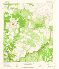
1961 · Bartons Chapel
USGS Topo · 1:24,000
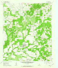
1961 · Perrin
USGS Topo · 1:24,000

1961 · Jacksboro NE
USGS Topo · 1:24,000