Loading...
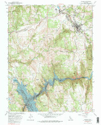
Loading map...1962 Map of Jackson
USGS Topo · Published 1974About this map
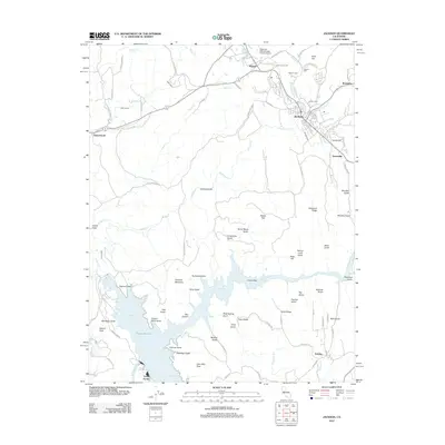
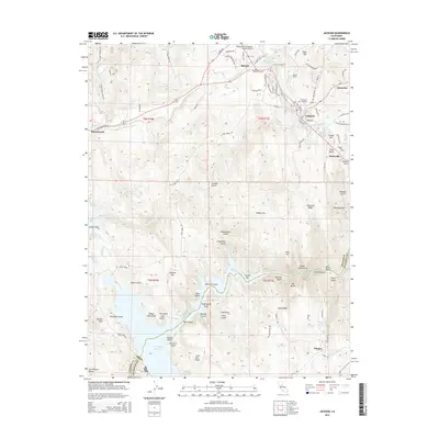
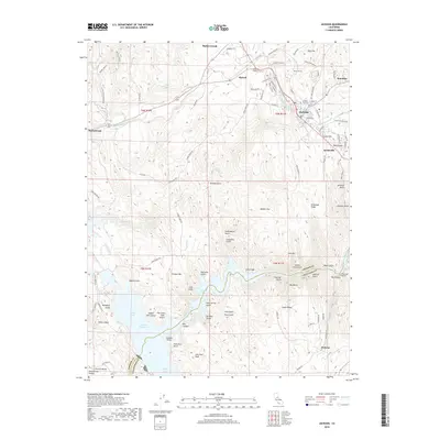
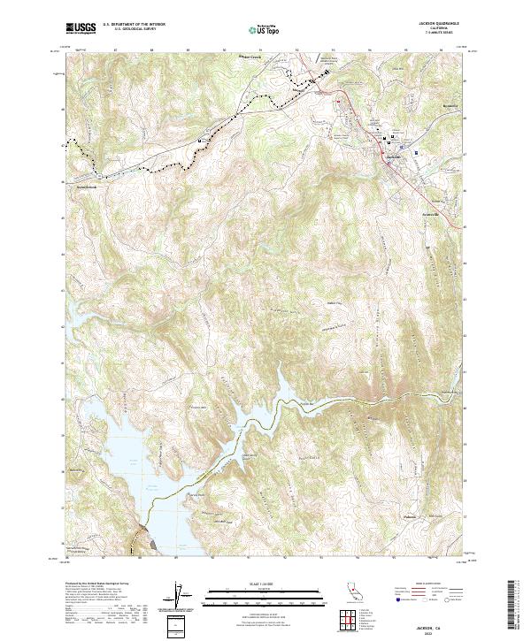
Jackson serves as the focal point of this California Mother Lode survey, where the heavy industrial footprint of gold mining defines the landscape. The city and its northern neighbor Martell are surrounded by storied operations like the Argonaut Mine, Oneida Mine, and Zeile Mine, while the Amador Central RR provides the essential rail link for the region's mineral wealth. Beyond the mines, the map records the development of public infrastructure, from the Amador County Airport to the Pardee Reservoir Recreation Area.
Find a feature on this map
82 named features on this map. Tap any name to fly to it.
Don’t see what you’re looking for? This feature index may not catch every label — zoom into the map to look around manually.
Map Details
Date Portrayed1962
Date Published1974
PublisherU.S. Geological Survey
Map TypeTopographic
Scale1:24,000
Physical Dimensions21.5 x 26.8 inches
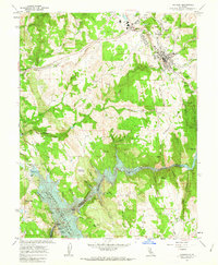
Editions of this 1962 Jackson Map
3 editions found
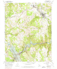
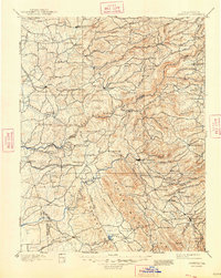
Historical Maps of Jackson Through Time
9 maps found


Featured Locations
Source Details
SourceU.S. Geological Survey
CopyrightPublic Domain