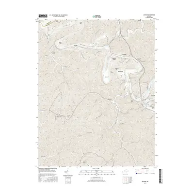
2016 Map of Jackson
USGS Topo · Published 2016About this map
The North Fork Kentucky River winds through this Breathitt County landscape, creating dramatic meanders such as Cy Bend and Miller Bend. The regional infrastructure is defined by its adaptation to the steep terrain, notably the Chenowee Tunnel and the O and K Tunnel, which facilitate passage through the narrow gaps and ridges. Small settlements like Elkatawa and Wolverine sit tucked along the valley floors, while larger hubs like Jackson and Panhandle anchor the eastern edge of the survey.
Find a feature on this map
75 named features on this map. Tap any name to fly to it.
Don’t see what you’re looking for? This feature index may not catch every label — zoom into the map to look around manually.
Map Details
Editions of this 2016 Jackson Map
This is the sole edition of this map. No revisions or reprints were ever made.
Other maps of this area

1889 · Salyersville
USGS Topo · 1:125,000

1891 · Manchester
USGS Topo · 1:125,000

1891 · Hazard
USGS Topo · 1:125,000

1891 · Salyersville
USGS Topo · 1:125,000

1892 · Beattyville
USGS Topo · 1:125,000

1899 · Salyersville
USGS Topo · 1:125,000

1913 · Buckhorn
USGS Topo · 1:62,500

1951 · Landsaw
USGS Topo · 1:24,000

1951 · Quicksand
USGS Topo · 1:24,000

1951 · Jackson
USGS Topo · 1:24,000