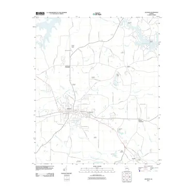
2011 Map of Jackson
USGS Topo · Published 2011About this map
Jackson serves as the central hub of this Georgia landscape, surrounded by smaller communities such as Pepperton and Flovilla. The terrain is defined by a complex network of waterways, including Yellow Water Creek, Panther Creek, and Aboothlacoosta Creek, which drain toward the larger Jackson Lake in the northeast. Numerous family-named landmarks and rural intersections, like McMichael Crossroads and Iron Springs Crossroads, suggest a deeply rooted local history and long-standing settlement patterns.
Find a feature on this map
83 named features on this map. Tap any name to fly to it.
Don’t see what you’re looking for? This feature index may not catch every label — zoom into the map to look around manually.
Map Details
Editions of this 2011 Jackson Map
This is the sole edition of this map. No revisions or reprints were ever made.
Other maps of this area

1951 · Forsyth
USGS Topo · 1:62,500

1951 · Barnesville
USGS Topo · 1:62,500

1953 · Atlanta
USGS Topo · 1:250,000

1953 · Athens
USGS Topo · 1:250,000

1957 · Atlanta
USGS Topo · 1:250,000

1958 · Athens
USGS Topo · 1:250,000

1958 · Atlanta
USGS Topo · 1:250,000

1959 · Athens
USGS Topo · 1:250,000

1963 · Athens
USGS Topo · 1:250,000

1964 · Lloyd Shoals Dam
USGS Topo · 1:24,000