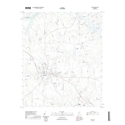
2020 Map of Jackson
USGS Topo · Published 2020About this map
The Butts County Courthouse serves as the central landmark for the seat of Jackson, a community defined by its proximity to the waters of Jackson Lake. The landscape transition from the town center to the outlying areas reveals a network of small settlements such as Pepperton, Stark, and the historic recreational hub at Indian Springs. For genealogists, the map is a significant resource for identifying family-named burial sites, including the Kimbrough - Hord Cem, McMichael Cem, and Etheredge Cem. The northern reach of the map shows the shoreline of the lake fed by Tussahaw Cr, where residential development is interspersed with aviation features like the Seven Lakes Airport. Further south, the terrain is carved by Aboothlacoosta Cr, showing the persistent connection between the area's geography and its community development.
Find a feature on this map
151 named features on this map. Tap any name to fly to it.
Don’t see what you’re looking for? This feature index may not catch every label — zoom into the map to look around manually.
Map Details
Editions of this 2020 Jackson Map
This is the sole edition of this map. No revisions or reprints were ever made.
Other maps of this area

1951 · Forsyth
USGS Topo · 1:62,500

1951 · Barnesville
USGS Topo · 1:62,500

1953 · Atlanta
USGS Topo · 1:250,000

1953 · Athens
USGS Topo · 1:250,000

1957 · Atlanta
USGS Topo · 1:250,000

1958 · Athens
USGS Topo · 1:250,000

1958 · Atlanta
USGS Topo · 1:250,000

1959 · Athens
USGS Topo · 1:250,000

1963 · Athens
USGS Topo · 1:250,000

1964 · Lloyd Shoals Dam
USGS Topo · 1:24,000