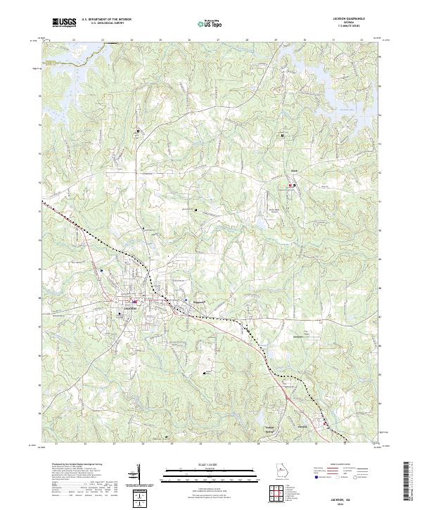
2024 Map of Jackson
USGS Topo · Published 2024About this map
The Butts County Courthouse stands as the central landmark in Jackson, the seat of Butts County, while the surrounding landscape reflects a mix of modern infrastructure and deep-rooted local history. Numerous family and community burial grounds, such as the Cedar Rock Cem, McMichael Cem, and Etheredge Cem, are scattered throughout the countryside, offering vital points of interest for genealogical research. The northeastern corner is defined by the waters of Jackson Lake, a major geographic feature fed by Tussahaw Creek and its various forks.
Find a feature on this map
154 named features on this map. Tap any name to fly to it.
Don’t see what you’re looking for? This feature index may not catch every label — zoom into the map to look around manually.
Map Details
Editions of this 2024 Jackson Map
This is the sole edition of this map. No revisions or reprints were ever made.
Other maps of this area

1951 · Forsyth
USGS Topo · 1:62,500

1951 · Barnesville
USGS Topo · 1:62,500

1953 · Atlanta
USGS Topo · 1:250,000

1953 · Athens
USGS Topo · 1:250,000

1957 · Atlanta
USGS Topo · 1:250,000

1958 · Athens
USGS Topo · 1:250,000

1958 · Atlanta
USGS Topo · 1:250,000

1959 · Athens
USGS Topo · 1:250,000

1963 · Athens
USGS Topo · 1:250,000

1964 · Lloyd Shoals Dam
USGS Topo · 1:24,000