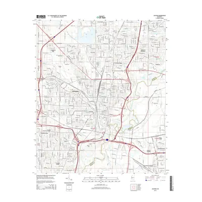
2015 Map of Jackson
USGS Topo · Published 2015About this map
Jackson stands as the central hub of this 2015 topographic survey, revealing a landscape defined by its educational institutions and complex transportation network. The state capital's academic footprint is prominent, with the campuses of Jackson State Univ, Millsaps Coll, and Belhaven Coll distributed throughout the urban core. The Pearl River serves as a natural boundary between Hinds and Rankin counties, while Le Fleur Bluff provides a distinctive topographical rise overlooking the river bottomlands. Industrial and aviation history is represented by the expansive Hawkins Field in the west and Flowood Industrial Airport to the east. The city's growth is traced through its neighborhood settlements like Woodland Hills and Northwest Hills, alongside older landmarks such as the Greenwood Cem and the Kansas City Southern rail lines. This map details the intersection of historic burial grounds like Cedar Lawn Cem and modern infrastructure including the Metro Pkwy.
Find a feature on this map
77 named features on this map. Tap any name to fly to it.
Don’t see what you’re looking for? This feature index may not catch every label — zoom into the map to look around manually.
Map Details
Editions of this 2015 Jackson Map
This is the sole edition of this map. No revisions or reprints were ever made.
Other maps of this area

1903 · Jackson
USGS Topo · 1:125,000

1905 · Jackson
USGS Topo · 1:48,000

1906 · Florence
USGS Topo · 1:62,500

1908 · Jackson
USGS Topo · 1:62,500

1908 · Florence
USGS Topo · 1:62,500

1934 · Raymond
USGS Topo · 1:48,000

1937 · Raymond
USGS Topo · 1:62,500

1937 · Terry
USGS Topo · 1:48,000

1942 · Raymond
USGS Topo · 1:62,500

1943 · Terry
USGS Topo · 1:62,500