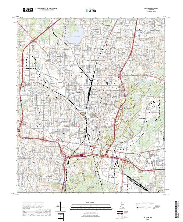
2024 Map of Jackson
USGS Topo · Published 2024About this map
The Medgar and Myrlie Evers Home National Monument stands as a central historical landmark within the dense urban fabric of Jackson. This contemporary topographic survey illustrates the intersection of administrative and educational growth, featuring major institutions like Jackson State University, Millsaps College, and Belhaven University. The city's development is bounded by the winding Pearl River and significant natural elevations like Le Fleur Bluff and Bailey Hill.
Find a feature on this map
46 named features on this map. Tap any name to fly to it.
Don’t see what you’re looking for? This feature index may not catch every label — zoom into the map to look around manually.
Map Details
Editions of this 2024 Jackson Map
This is the sole edition of this map. No revisions or reprints were ever made.
Other maps of this area

1903 · Jackson
USGS Topo · 1:125,000

1905 · Jackson
USGS Topo · 1:48,000

1906 · Florence
USGS Topo · 1:62,500

1908 · Jackson
USGS Topo · 1:62,500

1908 · Florence
USGS Topo · 1:62,500

1934 · Raymond
USGS Topo · 1:48,000

1937 · Raymond
USGS Topo · 1:62,500

1937 · Terry
USGS Topo · 1:48,000

1942 · Raymond
USGS Topo · 1:62,500

1943 · Terry
USGS Topo · 1:62,500