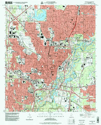
1998 Map of Jackson
USGS Topo · Published 1998About this map
Jackson stands as a dense hub of state governance and higher education along the western banks of the Pearl River in the late 1990s. The landscape is defined by its institutional anchors, from the State Capitol and Firehouse Museum downtown to the sprawling campus of Jackson State Univ. The city's mid-century expansion is visible in residential developments like Northwest Hills Terrace and Garden Park, while the eastern edge is preserved within the marshes and sloughs of Mayfes Lefleurs Bluff State Park.
Find a feature on this map
111 named features on this map. Tap any name to fly to it.
Don’t see what you’re looking for? This feature index may not catch every label — zoom into the map to look around manually.
Map Details
Editions of this 1998 Jackson Map
This is the sole edition of this map. No revisions or reprints were ever made.
Other maps of this area

1903 · Jackson
USGS Topo · 1:125,000

1905 · Jackson
USGS Topo · 1:48,000

1906 · Florence
USGS Topo · 1:62,500

1908 · Jackson
USGS Topo · 1:62,500

1908 · Florence
USGS Topo · 1:62,500

1934 · Raymond
USGS Topo · 1:48,000

1937 · Raymond
USGS Topo · 1:62,500

1937 · Terry
USGS Topo · 1:48,000

1942 · Raymond
USGS Topo · 1:62,500

1943 · Terry
USGS Topo · 1:62,500