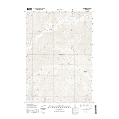
2013 Map of Jackson Peak
USGS Topo · Published 2013About this map
Boise National Forest dominates this high-elevation terrain in Boise County, where the South Fork Payette River carves a deep path through the northern landscape. This 2013 survey documents a remote wilderness defined by steep drainages and prominent peaks, including Archie Mtn and Wolf Mtn. The watershed is particularly intricate, with the Crooked River and Pikes Fork feeding into larger systems, while high-altitude features like Jennie Lake provide clear evidence of the area's glacial and hydrological history.
Find a feature on this map
32 named features on this map. Tap any name to fly to it.
Don’t see what you’re looking for? This feature index may not catch every label — zoom into the map to look around manually.
Map Details
Editions of this 2013 Jackson Peak Map
This is the sole edition of this map. No revisions or reprints were ever made.
Other maps of this area

1891 · Bear Valley
USGS Topo · 1:125,000

1893 · Bear Valley
USGS Topo · 1:125,000

1894 · Idaho Basin
USGS Topo · 1:125,000

1894 · Rocky Bar
USGS Topo · 1:125,000

1909 · Garden Valley
USGS Topo · 1:125,000

1955 · Hailey
USGS Topo · 1:250,000

1957 · Challis
USGS Topo · 1:250,000

1959 · Hailey
USGS Topo · 1:250,000

1960 · Challis
USGS Topo · 1:250,000

1962 · Hailey
USGS Topo · 1:250,000