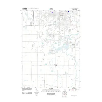
2011 Map of Jackson South
USGS Topo · Published 2011About this map
Jackson dominates the northern portion of this landscape, where established neighborhoods transition into a lake-rich southern corridor. The Grand River and its tributary Sharp Creek wind through a series of water bodies including Sharp Lake, Brown Lake, and the community of Vandercook Lake. This area is characterized by its numerous historic burial grounds, ranging from the large Mount Evergreen Cemetery and Saint Johns Cemetery in the city to smaller rural plots like Snyder Cemetery and Bean Cemetery near Sandstone Creek. Recreational and institutional landmarks are prominent, notably the Ella Sharp Park Golf Course and the Jackson Post Office. Moving toward South Jackson, the terrain becomes more open, defined by landmarks such as Hatt Hill and the headwaters of the N Br Kalamazoo River, showing the reach of the city's suburban and rural fringe.
Find a feature on this map
85 named features on this map. Tap any name to fly to it.
Don’t see what you’re looking for? This feature index may not catch every label — zoom into the map to look around manually.
Map Details
Editions of this 2011 Jackson South Map
This is the sole edition of this map. No revisions or reprints were ever made.
Other maps of this area

1919 · Springport
USGS Topo · 1:62,500

1919 · Rives Junction
USGS Topo · 1:62,500

1921 · Rives Junction
USGS Topo · 1:62,500

1921 · Springport
USGS Topo · 1:62,500

1935 · Jackson
USGS Topo · 1:48,000

1939 · Jackson
USGS Topo · 1:62,500

1948 · Spring Arbor
USGS Topo · 1:62,500

1949 · Spring Arbor
USGS Topo · 1:62,500

1958 · Grand Rapids
USGS Topo · 1:250,000

1961 · Grand Rapids
USGS Topo · 1:250,000
Featured Places
- Jackson, MI
- Spring Arbor Township, MI
- Vandercook Lake, MI
- Hanover Township, MI
- Blackman Charter Township, MI