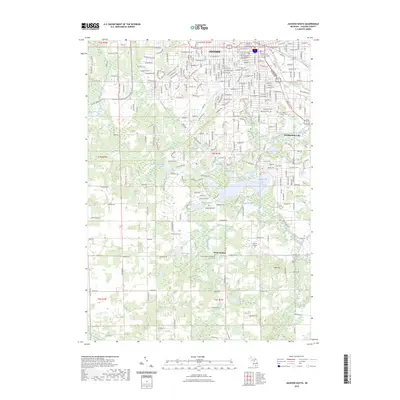
2023 Map of Jackson South
USGS Topo · Published 2023About this map
The Grand River and its accompanying Upper Grand River Water Trail flow through this landscape just south of the industrial and civic center of Jackson. This survey highlights the southern expansion of the city into the suburban and lakefront communities of Vandercook Lake and South Jackson. The transition from an urban grid to a lake-dotted countryside is marked by numerous historic burial grounds, including the Saint John's Catholic Cem and Woodland Cem.
Find a feature on this map
45 named features on this map. Tap any name to fly to it.
Don’t see what you’re looking for? This feature index may not catch every label — zoom into the map to look around manually.
Map Details
Editions of this 2023 Jackson South Map
This is the sole edition of this map. No revisions or reprints were ever made.
Other maps of this area

1919 · Springport
USGS Topo · 1:62,500

1919 · Rives Junction
USGS Topo · 1:62,500

1921 · Rives Junction
USGS Topo · 1:62,500

1921 · Springport
USGS Topo · 1:62,500

1935 · Jackson
USGS Topo · 1:48,000

1939 · Jackson
USGS Topo · 1:62,500

1948 · Spring Arbor
USGS Topo · 1:62,500

1949 · Spring Arbor
USGS Topo · 1:62,500

1958 · Grand Rapids
USGS Topo · 1:250,000

1961 · Grand Rapids
USGS Topo · 1:250,000
Featured Places
- Jackson, MI
- Spring Arbor Township, MI
- Vandercook Lake, MI
- Hanover Township, MI
- Blackman Charter Township, MI