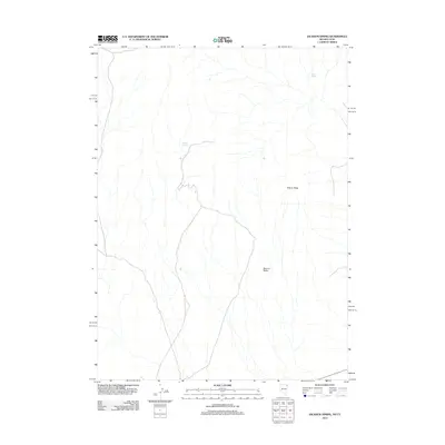
2012 Map of Jackson Spring
USGS Topo · Published 2012About this map
Tecoma Valley stretches across this arid landscape on the Nevada-Utah border, defined by its sparse water sources and topographic relief. The map highlights the critical importance of isolated water points in the Great Basin, specifically Jackson Spring and Kilgore Spring, which serve as the primary landmarks in an otherwise open terrain. Rising above the valley floor, the prominent Kilgore Ridge provides a distinct geographical anchor for the region. This 2012 survey captures the area's modern configuration of primitive roads and drainage patterns, documenting a remote borderland where natural features remain the most significant identifiers for navigation and land use.
Find a feature on this map
4 named features on this map. Tap any name to fly to it.
Don’t see what you’re looking for? This feature index may not catch every label — zoom into the map to look around manually.
Map Details
Editions of this 2012 Jackson Spring Map
This is the sole edition of this map. No revisions or reprints were ever made.
Other maps of this area

1954 · Brigham City
USGS Topo · 1:250,000

1955 · Wells
USGS Topo · 1:250,000

1958 · Wells
USGS Topo · 1:250,000

1958 · Brigham City
USGS Topo · 1:250,000

1961 · Wells
USGS Topo · 1:250,000

1961 · Dairy Valley
USGS Topo · 1:62,500

1962 · Brigham City
USGS Topo · 1:250,000

1967 · Jackson Spring
USGS Topo · 1:24,000

1967 · Lucin
USGS Topo · 1:24,000

1967 · Twelvemile Ranch
USGS Topo · 1:24,000