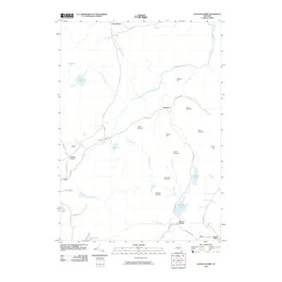
2010 Map of Jackson Summit
USGS Topo · Published 2010About this map
Jackson Summit and the surrounding Adirondack foothills are defined by a complex network of reservoirs and peaks. The southern portion of the map is anchored by the community of Jackson Summit, situated near the Jackson Summit Reservoir and the flowing waters of Buttermilk Falls. This area shows a transition from the small upland settlements like Lindsley Corners and Bowlers Corners to the higher elevations of the north.
Find a feature on this map
50 named features on this map. Tap any name to fly to it.
Don’t see what you’re looking for? This feature index may not catch every label — zoom into the map to look around manually.
Map Details
Editions of this 2010 Jackson Summit Map
This is the sole edition of this map. No revisions or reprints were ever made.
Other maps of this area

1899 · Broadalbin
USGS Topo · 1:62,500

1902 · Broadalbin
USGS Topo · 1:62,500

1903 · Gloversville
USGS Topo · 1:62,500

1907 · Lake Pleasant
USGS Topo · 1:62,500

1910 · Stony Creek
USGS Topo · 1:62,500

1943 · Gloversville
USGS Topo · 1:62,500

1945 · Caroga Lake
USGS Topo · 1:24,000

1945 · Northville
USGS Topo · 1:24,000
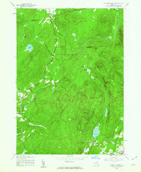
1945 · Jackson Summit
USGS Topo · 1:24,000
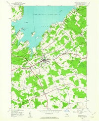
1945 · Broadalbin
USGS Topo · 1:24,000