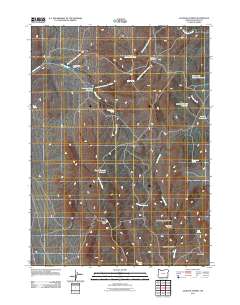
2011 Map of Jackson Summit
USGS Topo · Published 2011About this map
Jackson Creek Ranch anchors the northwestern corner of this high-elevation landscape in Malheur County, where the management of water is central to the human footprint. A series of catchment systems, including the Jackson Creek Reservoir, Upper Tenmile Reservoir, and the uniquely named Hole-in-the-Ground Reservoir, illustrate the necessity of seasonal water storage in this arid environment. The terrain is defined by dramatic elevation changes, rising toward Jackson Summit and High Peak. Below these heights, a network of drainages such as Chicken Springs Canyon and Deadhorse Canyon carve through the earth, directing flow toward larger arteries like Tenmile Creek and Cottonwood Creek. The presence of several named springs, such as Jasper Spring and Bankofier Spring, further emphasizes the critical nature of natural water sources for ranching and wildlife in this part of eastern Oregon.
Find a feature on this map
26 named features on this map. Tap any name to fly to it.
Don’t see what you’re looking for? This feature index may not catch every label — zoom into the map to look around manually.
Map Details
Editions of this 2011 Jackson Summit Map
This is the sole edition of this map. No revisions or reprints were ever made.
Other maps of this area

1955 · Jordan Valley
USGS Topo · 1:250,000

1957 · Jordan Valley
USGS Topo · 1:250,000

1958 · Jordan Valley
USGS Topo · 1:250,000

1982 · Battle Mtn
USGS Topo · 1:24,000
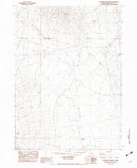
1982 · Bowden Waterhole
USGS Topo · 1:24,000
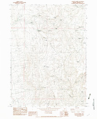
1982 · Jackson Summit
USGS Topo · 1:24,000
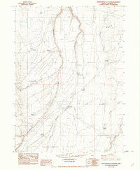
1982 · Grasshopper Flat North
USGS Topo · 1:24,000
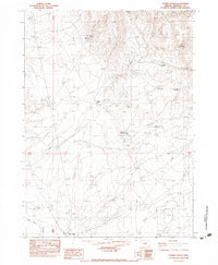
1982 · Tenmile Ranch
USGS Topo · 1:24,000
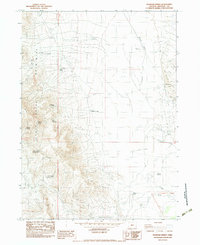
1982 · Boghole Spring
USGS Topo · 1:24,000
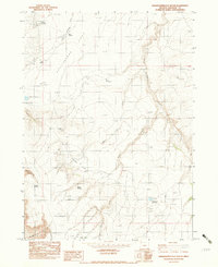
1982 · Grasshopper Flat South
USGS Topo · 1:24,000