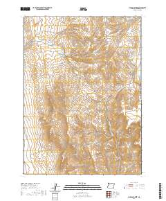
2020 Map of Jackson Summit
USGS Topo · Published 2020About this map
Jackson Summit and the high desert plateaus of southeastern Malheur County are defined by a complex network of seasonal water management and natural springs. This high-altitude landscape is dotted with vital water sources such as Jackson Creek Spring, Potato Water Spring, and Cottonwood Spring, which sustain life in the arid basin. Artificial impoundments like Jackson Summit Reservoir, Upper Tenmile Reservoir, and the curiously named Hole-in-the-Ground Reservoir indicate the region's reliance on water catchment for ranching operations, accessible via thoroughfares like Jackson Creek Rd and Mouque Ranch Rd.
Find a feature on this map
32 named features on this map. Tap any name to fly to it.
Don’t see what you’re looking for? This feature index may not catch every label — zoom into the map to look around manually.
Map Details
Editions of this 2020 Jackson Summit Map
This is the sole edition of this map. No revisions or reprints were ever made.
Other maps of this area

1955 · Jordan Valley
USGS Topo · 1:250,000

1957 · Jordan Valley
USGS Topo · 1:250,000

1958 · Jordan Valley
USGS Topo · 1:250,000

1982 · Battle Mtn
USGS Topo · 1:24,000
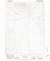
1982 · Bowden Waterhole
USGS Topo · 1:24,000
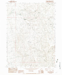
1982 · Jackson Summit
USGS Topo · 1:24,000
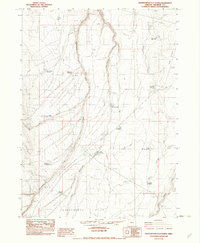
1982 · Grasshopper Flat North
USGS Topo · 1:24,000
1982 · Tenmile Ranch
USGS Topo · 1:24,000
1982 · Boghole Spring
USGS Topo · 1:24,000
1982 · Grasshopper Flat South
USGS Topo · 1:24,000