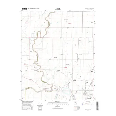
2014 Map of Jacksonport
USGS Topo · Published 2014About this map
Jacksonport sits at the historic confluence where the White River meets the winding Black River, a point long central to river commerce and regional development in Arkansas. The landscape is defined by the sharp meanders of these river systems, creating distinctive terrain features like Dead Mule Bend, Mason Bend, and the elevated Howard Mound. To the east, the corridor between Diaz and Newport shows the modern concentration of infrastructure, while the western side remains dominated by the oxbow lakes and wetlands typical of the delta, including Goose Lake and Long Lake. Numerous rural burial grounds are scattered throughout the quadrangle, such as Shiloh Cem and the Hickory Grove Cem, providing valuable touchpoints for genealogists. The map also documents the transition from river-side settlements like Paroquet and Reamey to the rail and highway-oriented development at Campbell Station.
Find a feature on this map
113 named features on this map. Tap any name to fly to it.
Don’t see what you’re looking for? This feature index may not catch every label — zoom into the map to look around manually.
Map Details
Editions of this 2014 Jacksonport Map
This is the sole edition of this map. No revisions or reprints were ever made.
Other maps of this area

1932 · Strawberry
USGS Topo · 1:62,500

1935 · Alicia
USGS Topo · 1:62,500

1935 · Strawberry
USGS Topo · 1:62,500

1935 · Newport
USGS Topo · 1:62,500

1935 · Tuckerman
USGS Topo · 1:62,500

1941 · Strawberry
USGS Topo · 1:62,500

1953 · Memphis
USGS Topo · 1:250,000

1954 · Charlotte
USGS Topo · 1:24,000

1955 · Cord
USGS Topo · 1:24,000

1956 · Memphis
USGS Topo · 1:250,000